FIRETHORN / Whisper
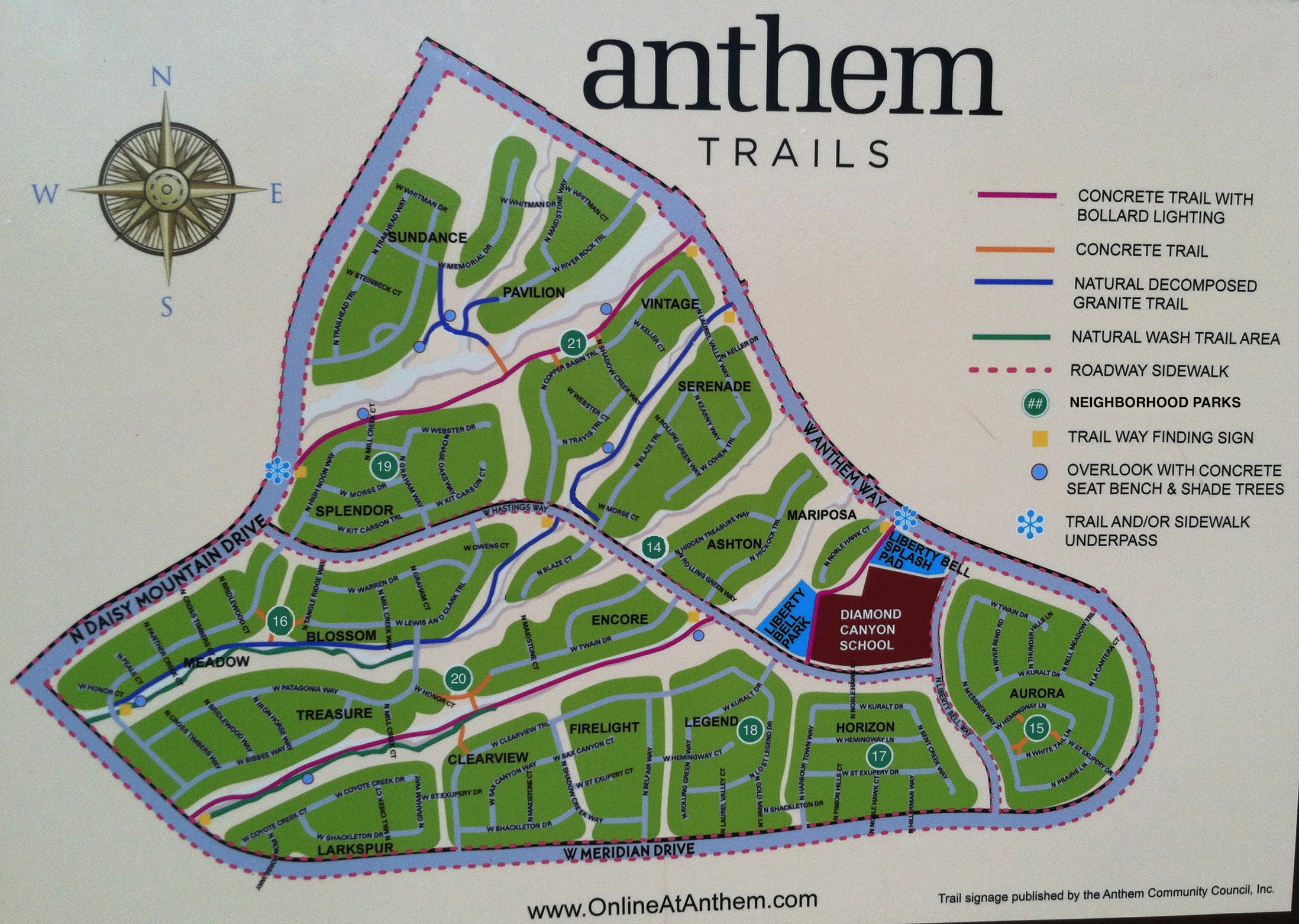
Neighborhood Parks Area: Area 3 (North)
Anthem Unit: Firethorn (#57)
Street Address: 43220 N Whisper Ln
Coordinates: N33.8767 W112.1460
Accessible from:Whisper Ln, Ericson Dr
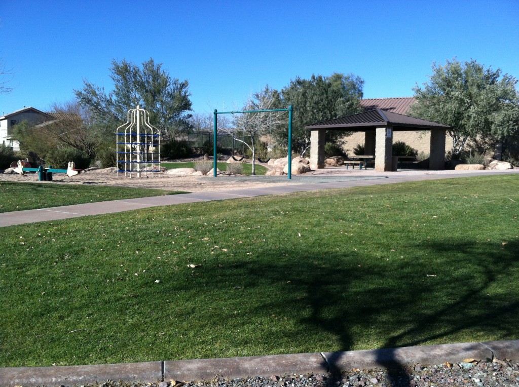
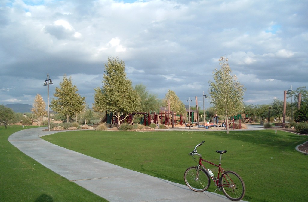
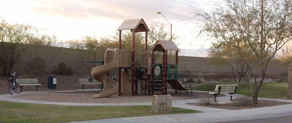
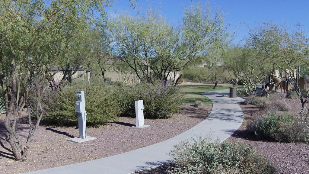
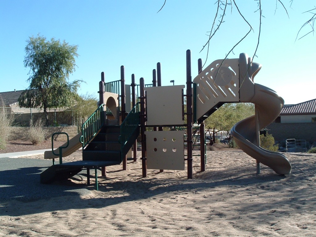
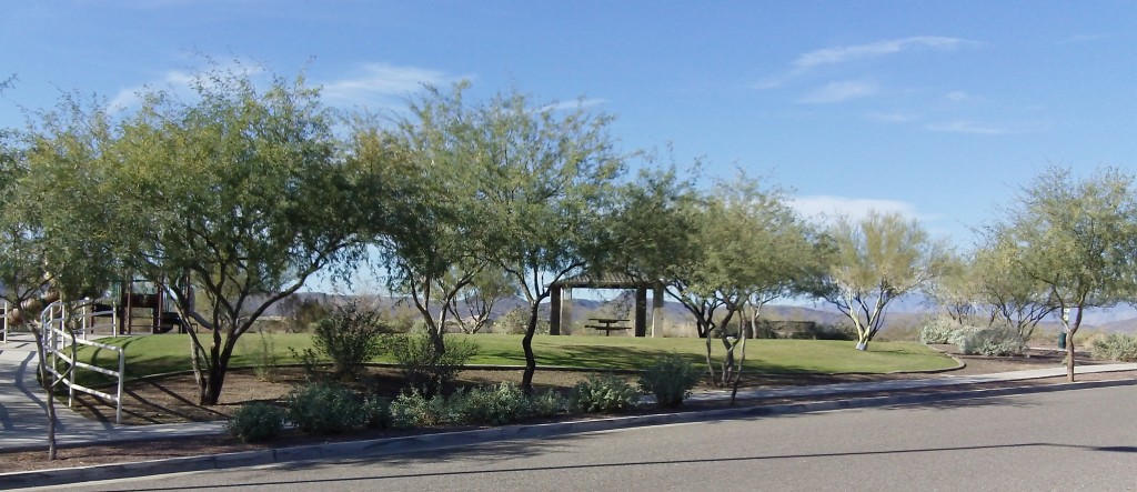
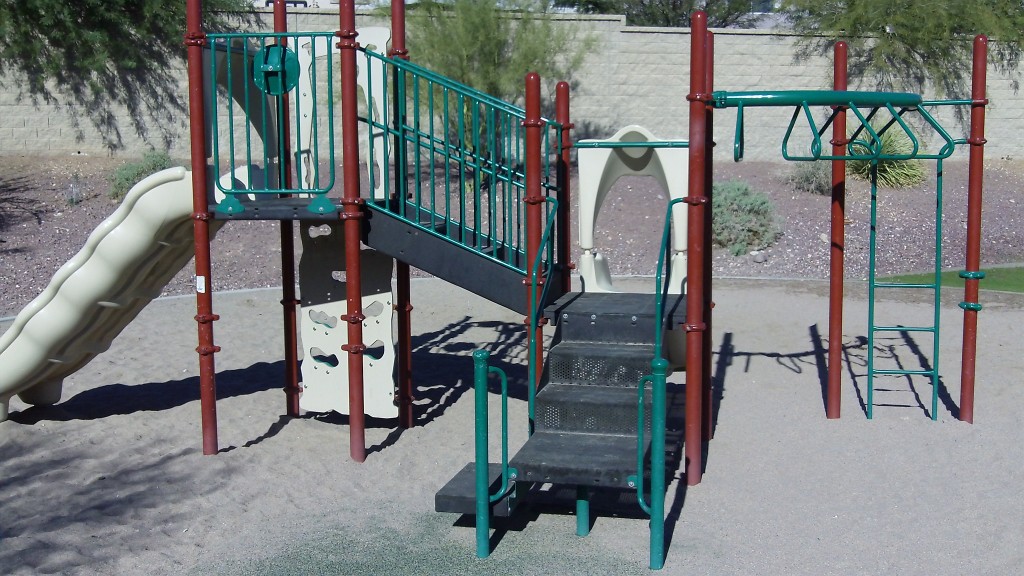
Features: 3 benches, 1 play structure, 2 toddler swings, medium-size grass areas
Return to Neighborhood Parks in Area 3 (North)
Go to Parks and Trails
Go Home
")